| Instrument | Photo | Retrieved Parameters | Description of Instrumentation | More information |
| Weather mast | 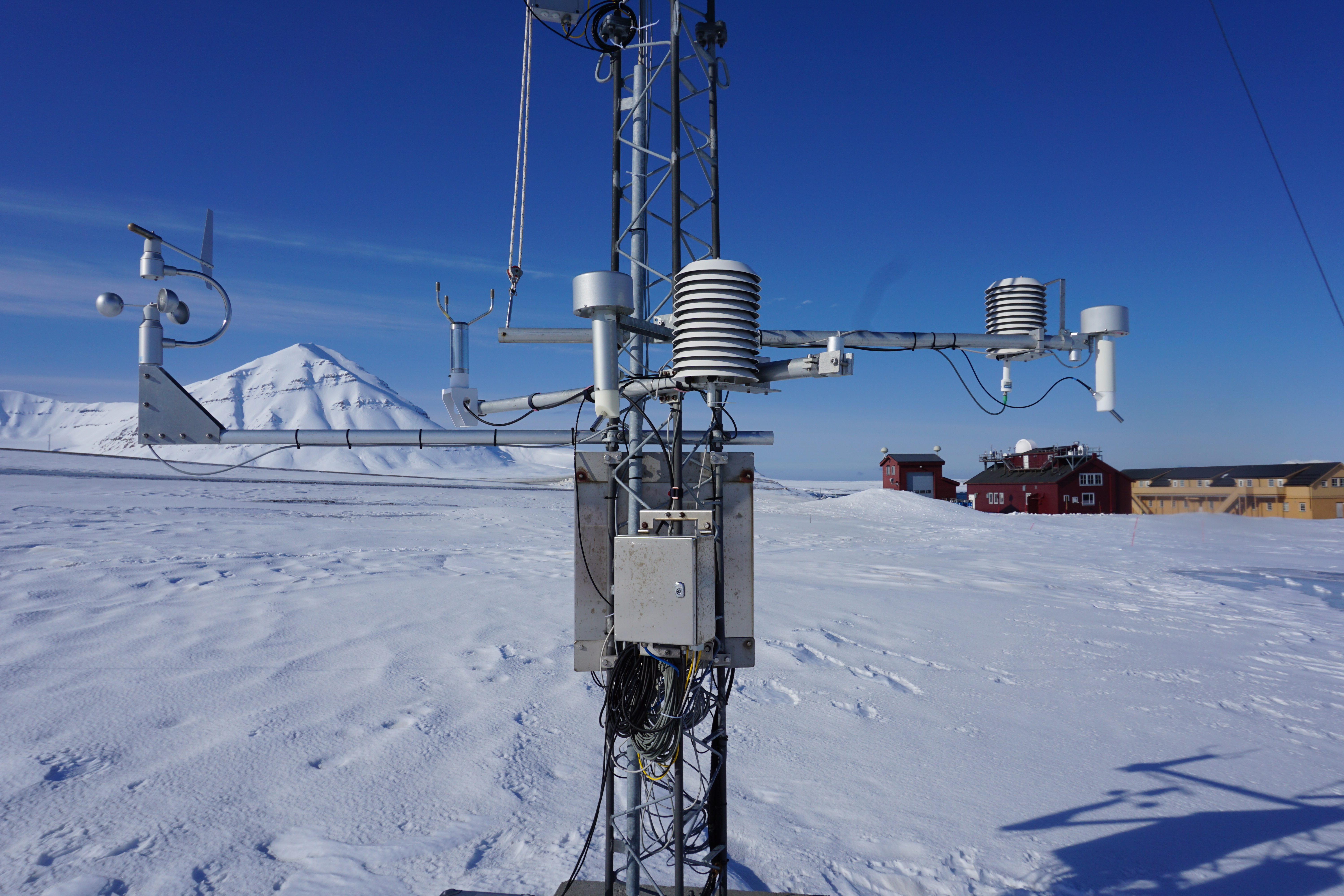 | temperature, relative humidity, wind direction, wind speed in 2 and 10 m above ground | PT100 temperature sensors, Vaisala XXX humidity sensors, and Thies Clima classic combined wind sensors are installed in 2 and 10 m above ground. | RiS Project 6817
>> Data |
Surface radiation |   | Net radiation components (SW up, SW down, LW up, LW down), direct and diffuse radiation | Ventilated CMP22 pyranometers, CGR4 and Eppley PIR pyrgeometers monitor the downward and upward radiation components. | Ris Project 2350
The measurements contribute to the Baseline Surface Radiation Network (BSRN).
Data are accessible upon registration with BSRN (www.bsrn.awi.de)
| | Ceilometer | 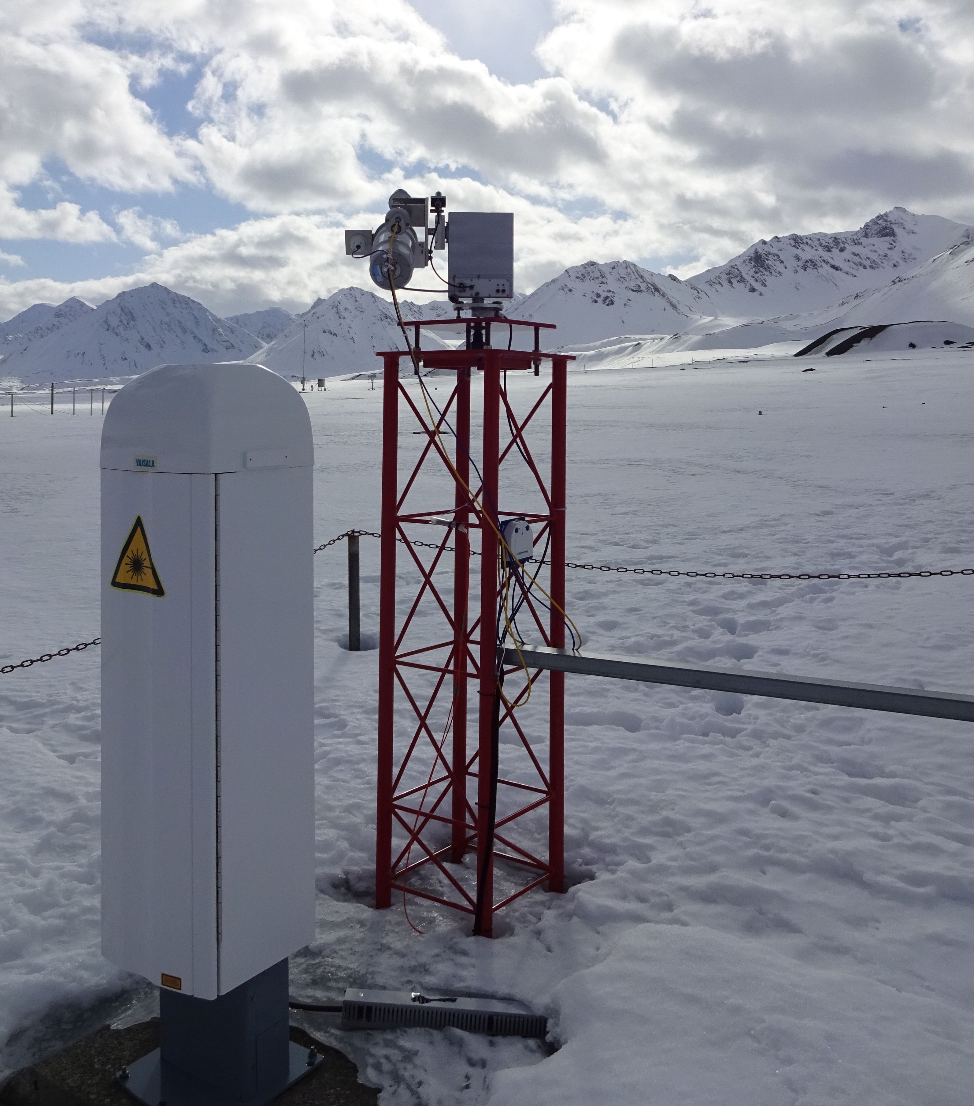 | Cloud base height | Pulsed 910nm diode laser instrument (Vaisala CL51) that detects the base height of cloud layers up to 13 km. | RiS Project 6817
>> Data |
| Radiosonde |  | Vertical profiles (0 - 30km) of temperature, pressure, relative humidity, wind speed and direction | The radiosonde (Vaisala RS41) ascents with a helium-filled balloon while transmitting the measured data to the ground station. | RiS Project 1118
>> Data
The Ny-Alesund radiosonde data also contribute to the GCOS Reference Upper-Air Network [GRUAN]. |
| Ozone sonde | 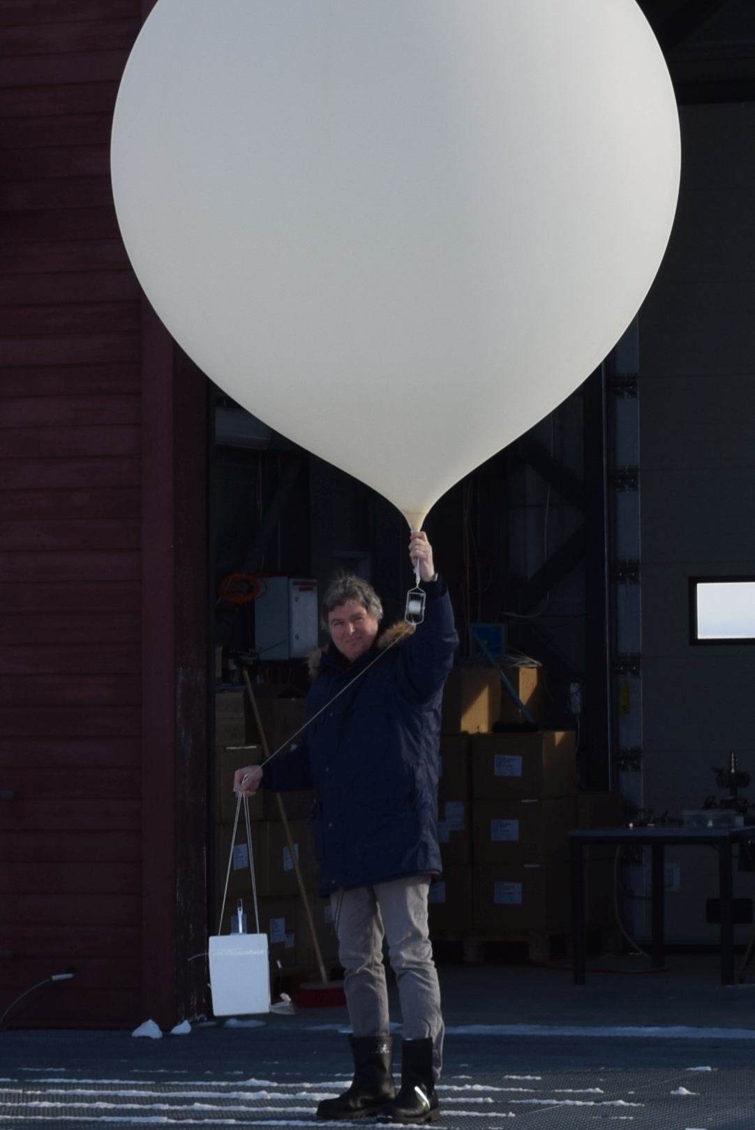 | Vertical profiles (0-30 km) of ozone concentration | The ozone concentration is detected by an electrochemical cell passed through by a defined flow of ambient air. The ozone sonde is launched together with a radiosonde on a helium-filled balloon. | RiS Project 1322
The data contribute to the Network for the Detection of Atmospheric Composition Changes (NDACC).
>> Data |
| Sun Photometer | 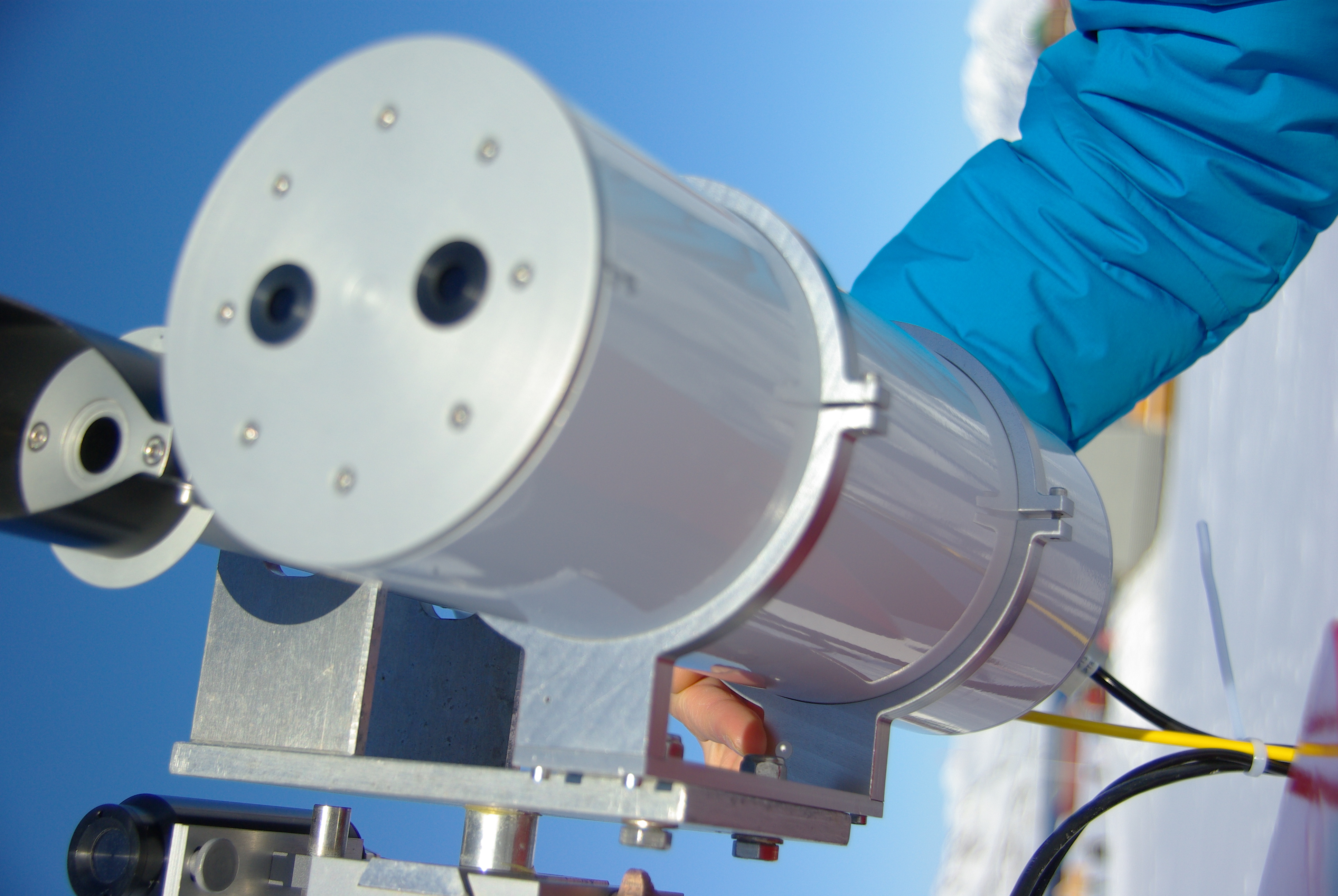 | Aerosol optical depth | The sun photometer is a small telescope that automatically tracks the sun in absence of clouds. It measures the aerosol optical depth (AOD) in several wavelengths between 360nm to 1024nm. | RiS Project 2353
>> Data |
| Star Photometer | 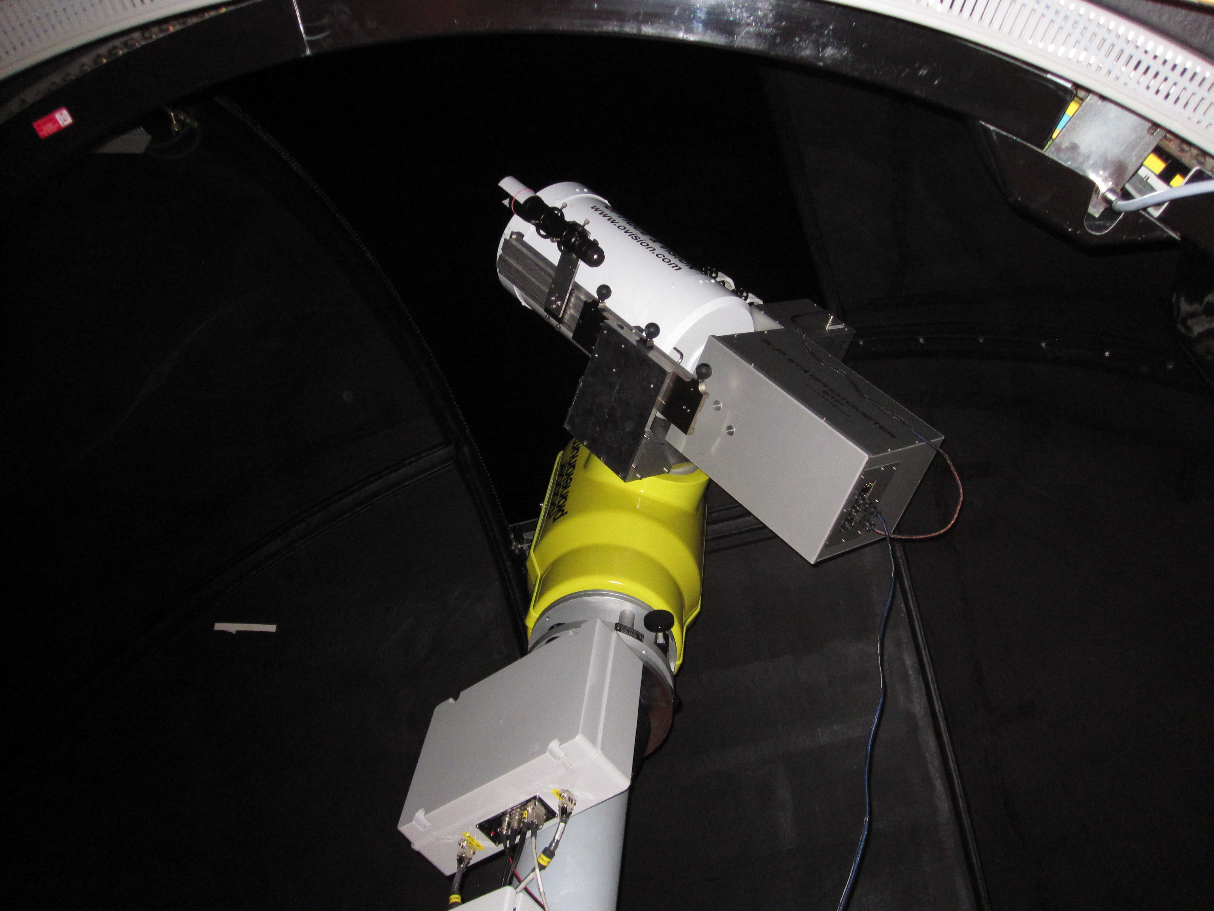 | Aerosol optical depth (during polar night) | The star photometer is a telescope that uses star light during the dark season to measure the aerosol optical depth (AOD) in several wavelengths. | RiS Project 2353
>> Data |
| "KARL" Koldewey Aerosol Raman Lidar |  | Vertical profiles of aerosol backscatter coefficient | A pulsed laser is emitted to the atmosphere where the light is scattered back by small particles (aerosols) and droplets. | RiS Project 2399
More information on the instrument and related research is provided here |
| Micropulse Lidar (MPL) |  | Vertical profiles of aerosol and cloud particle backscatter | A pulsed laser is emitted to the atmosphere where the light is scattered back by small particles (aerosols) and droplets. | RiS Project 3186.
The data contribute to the NASA Micro-Pulse Lidar Network (MPLNET).
>> Data |
| Doppler Lidar (WindCube) |  | Vertical profiles of wind (up to ~1km) | The wind lidar uses particles (aerosol, clouds) as a tracer to measure the wind. It runs automatically 24/7 and provides the 3D wind field up to approx. 1km altitude. However, the effective range depends on the visibility. | RiS Project 6525 .
> Quick look for tropospheric wind
>> Data |
| Microwave Radiometer (HATPRO) | 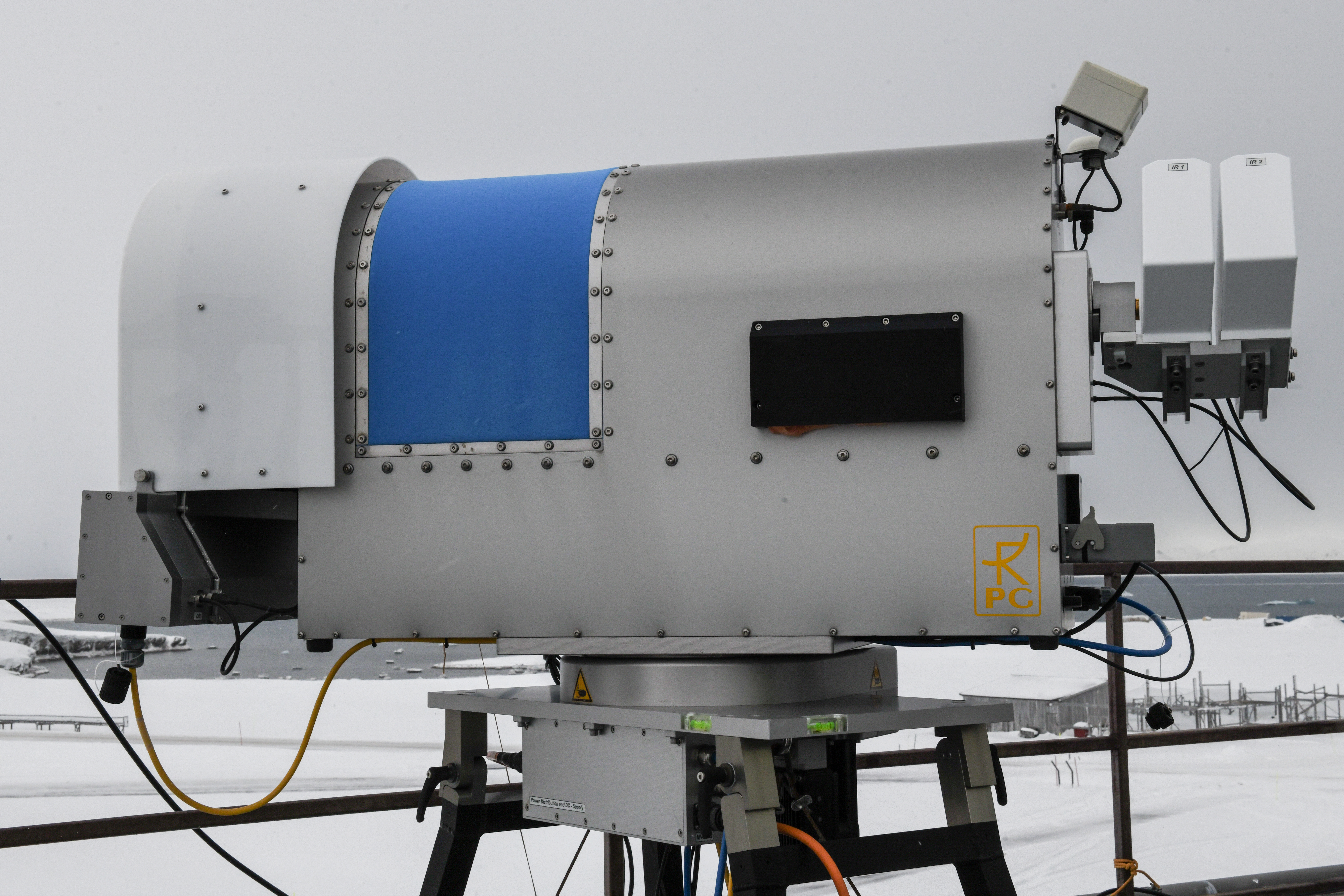 | Temperature and humidity profiles in the troposphere, liquid water path | Passive microwave radiometer that continuously measures profiles of the temperature and the water vapour. While the temporal resolution is about 10minutes, the vertical resolution is coarser than a radiosonde. | RiS Project 6525
> Quick look for Relative Humidity.
> Quick look for Temperature
>> Data |
| 35 GHz Cloud Radar | 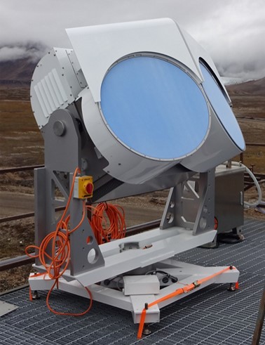 | macro- and microphysical cloud properties | The 35 GHz cloud radar data are synergetically analyzed in combination with precipitation observations and other collocated instrumentation. | RiS Project 10523.
The cloud radar measurements are performed in collaboration with the University of Cologne. Data are processed with the syncloud algorithm.
> Quick look for 35GHz cloud radar data |
| 94 GHz Cloud Radar |  | macro- and microphysical cloud properties | The 94 GHz cloud radar data are synergetically analyzed in combination with precipitation observations and other collocated instrumentation. | RiS Project 10523.
The cloud radar measurements are performed in collaboration with the University of Cologne. Data are processed with the syncloud algorithm.
> Quick look for 94GHz cloud radar data
>> Data
The data contribute to > CLOUDNET |
| Micro Rain Radar (MRR) | 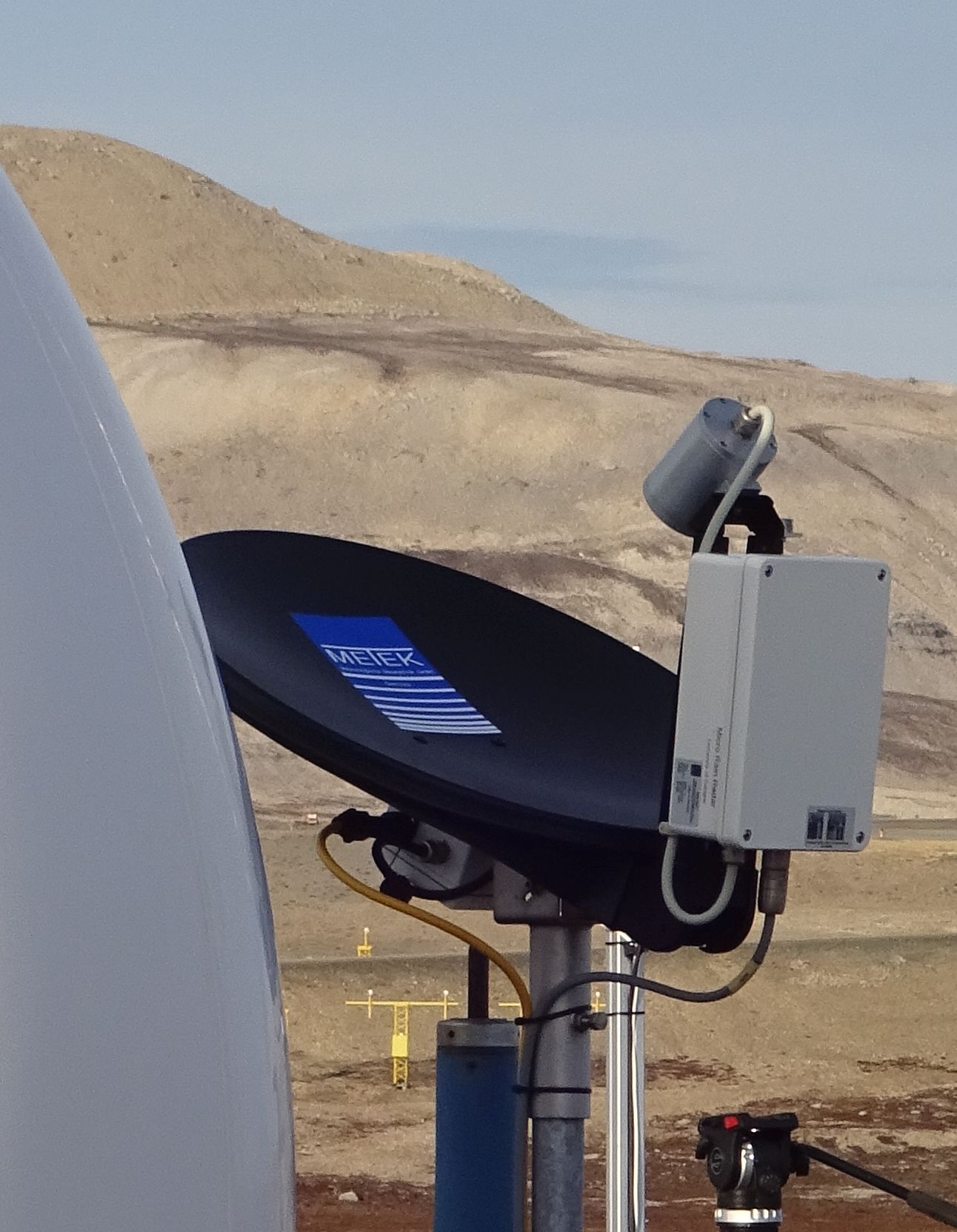 | precipitation rate, liquid water content, drop size distribution | The zenith pointing MRR is operating at 24 GHz and detects precipitation in the lowermost kilometer of the atmosphere. | RiS Project 10523.
The micro rain radar measurements are performed in collaboration with the University of Cologne.
> Quick look for MRR data
>> Data |
| Laser Precipitation Disdrometer |  | size and speed of falling precipitation particles | The data of the Parsivel laser disdrometer allow to calculate the type, amount, intensity and kinetic energy of the precipitation, the visibility in the precipitation, and the equivalent radar reflectivity. | RiS Project 10523.
The disdrometer measurements are performed in collaboration with the University of Cologne.
>> Data |
| Video in situ Snowfall Sensor (VISSS) |  | snow particle size, shape, and mass distribution | Falling particles are observed by two cameras at a 90° angle with high resolution, consquent data processing allows sizing, matching and tracking individual particles. | RiS Project 11763.
The snowfall in-situ measurements are performed in collaboration with the University of Leipzig. |
| Radiometer for Atmospheric Measurements (RAM) | 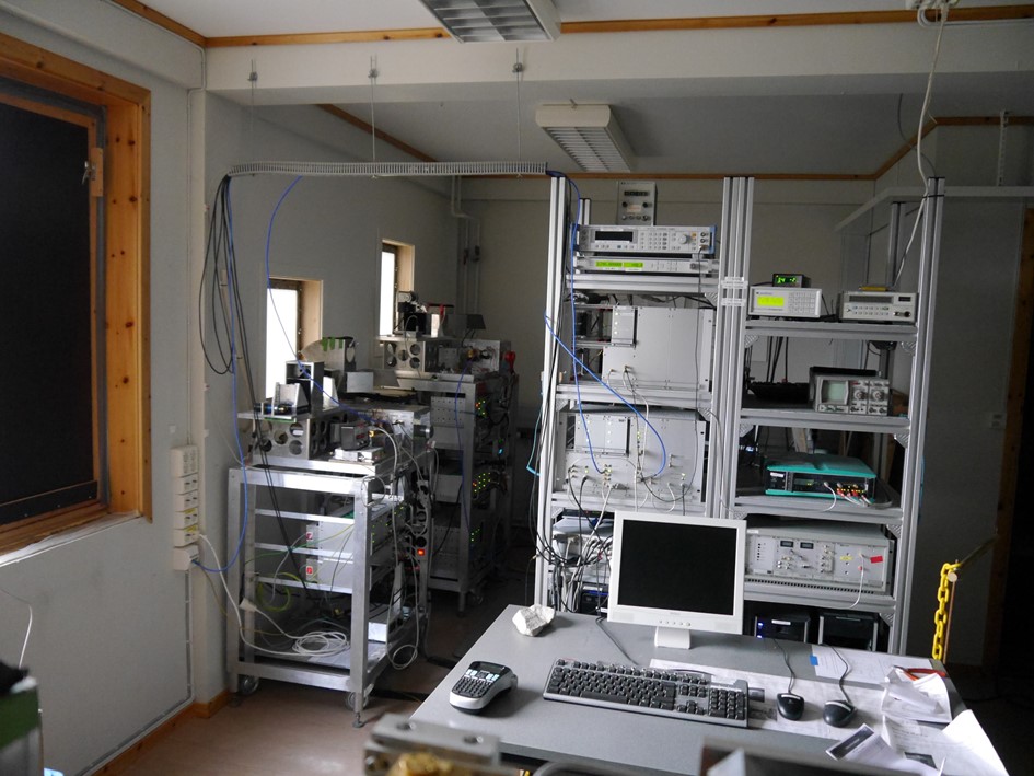 | Vertical profiles of O3 and CO in the upper stratosphere | Passive millimeterwave radiometer to continuously measure highly resolved spectra of the O3 and CO emission lines at 142 and 230 GHz, respectively. | RiS Project 390.
The RAM measurements are performed in collaboration with the University of Bremen, see external project page |
| Fourier Transform Infrared Spectrometer (FTIR) | 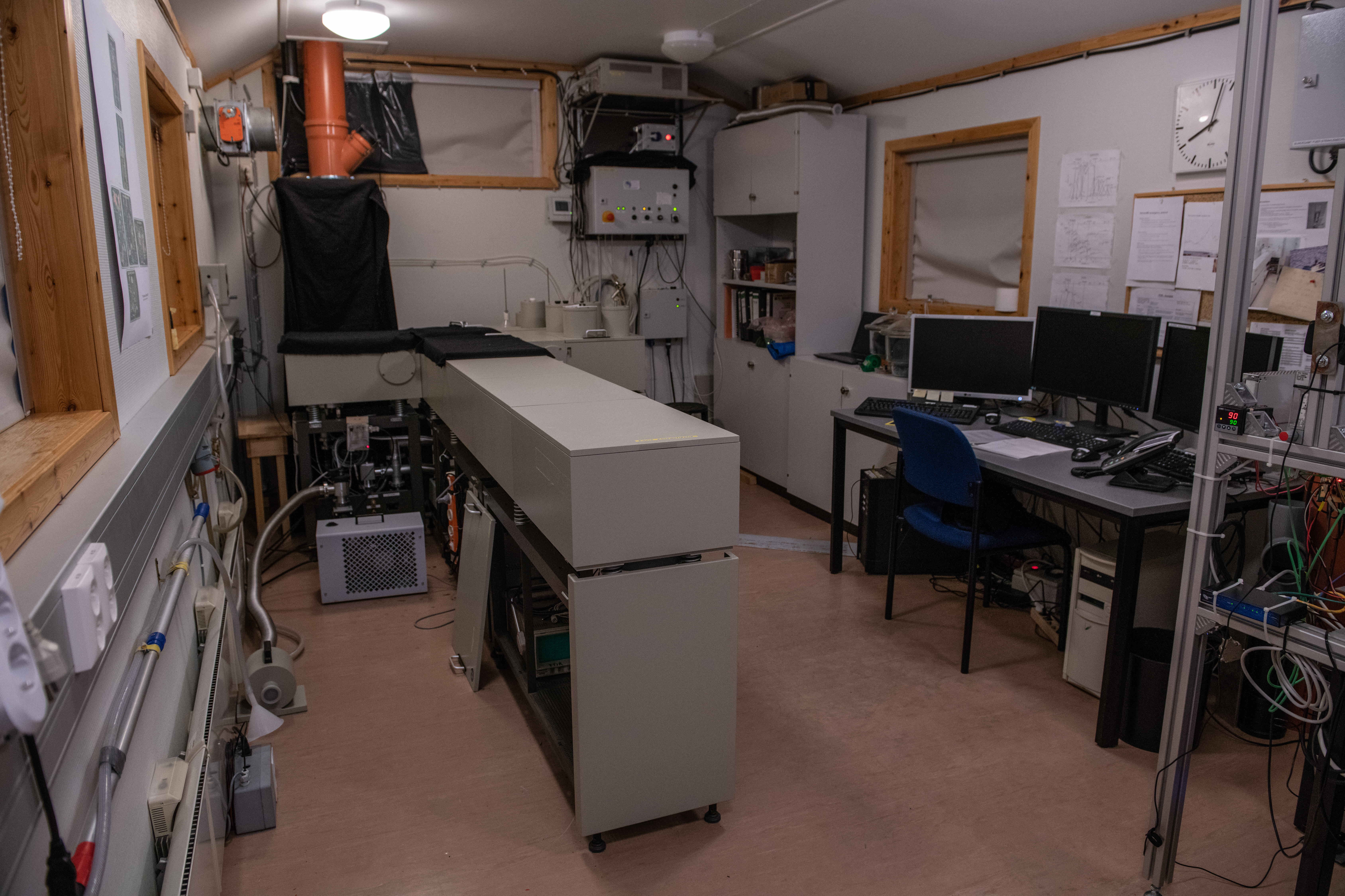 | Atmospheric trace gases, e.g. CO, CH4, O3 | With FTIR spectroscopy, emission spectra of the atmosphere are obtained to examine the variation of trace gases. | RiS Project 6047.
The FTIR measurements are performed in collaboration with the University of Bremen, see
external project page
> Quick Look |